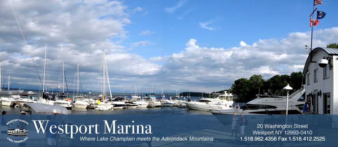
 Lake Champlain is the 6th largest fresh water lake in the U.S. It connects in the south via the Champlain Canal to the Hudson River, Albany and New York City. The lake flows north through the Chambly Canal to the Richeleau River in Quebec, then via the St. Lawrence River to the Atlantic, connecting to Montreal and the Great Lakes.
Lake Champlain is roughly 120 miles long; 12 miles across at the widest; 435 square miles; with 587 miles of shoreline. The average surface height is 95 feet above sea level. Chart depths are set at a low lake level of 93 ft. Just north of Westport at Split Rock, the lake is about 400 ft deep (307 below sea level), one of deepest spots in North America. (Death Valley is 282 feet below sea level.)
Lake Champlain Region Travel Information
View National Oceanic and Atmospheric Administration (NOAA) Lake Charts
Information About the Adirondack Coast

The Narrows: An Interpretive Guide for Boaters [English]

LES NARROWS Guide d’interprètation à l’intention des plaisanciers [French pdf]


